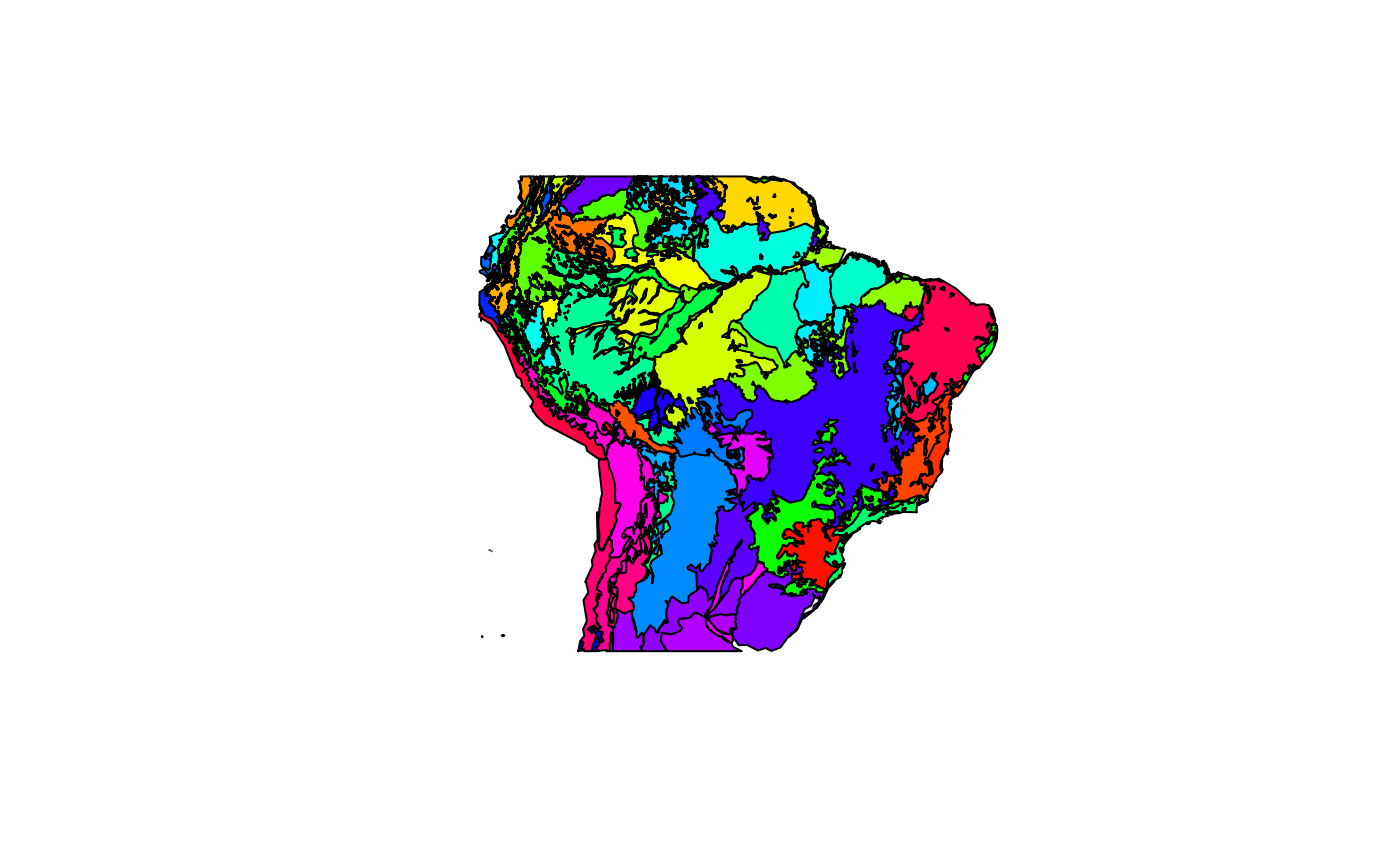
This is a spatially simplified shapefile with terrestrial polygon ecoregion from a portion of South America from (Olson et al. 2001).
ecoregionsFormat
An object of class SpatialPolygonsDataFrame with 1194 rows and 2 columns.
References
Olson, D. M., Dinerstein, E., Wikramanayake, E. D., Burgess, N. D., Powell, G. V., Underwood, E. C., … others. (2001). Terrestrial ecoregions of the world: A new map of life on earth. BioScience, 51(11), 933–938.
